
It was getting dark. I was alone in an unfamiliar section of Portland overlooking the Willamette River. This was the only restaurant within walking distance of my hotel. I skirted the barefoot young man in rags talking to himself and walked into this Asian fusion place, looking forward to a good meal after a long day at the Portland Book Festival.
High ceilings, mirrored columns, young servers in black, large parties of young people, a computer tablet at the entrance to sign in. I started the process. How many in your party? One. Are you willing to share a table? No. Please enter your phone number and we will text you when a table is ready. Uh-oh.
My phone was charging back in my hotel room. I flagged down a worker. “I don’t have my phone.”
She looked at me like I was from another planet. When she discovered I was also a party of one, she had to consult her boss on how to handle this anomaly. Ultimately, I had to sign in on the tablet, including my phone number.
“I don’t have my phone,” I repeated.
“We’ll work something out,” she said, a little flustered.
I waited on a bench next to two young women who were both staring at their phones. Customers came and went, most of them less than half my age. I started to wonder if I should have stayed at the hotel and eaten microwaved pasta in my room.
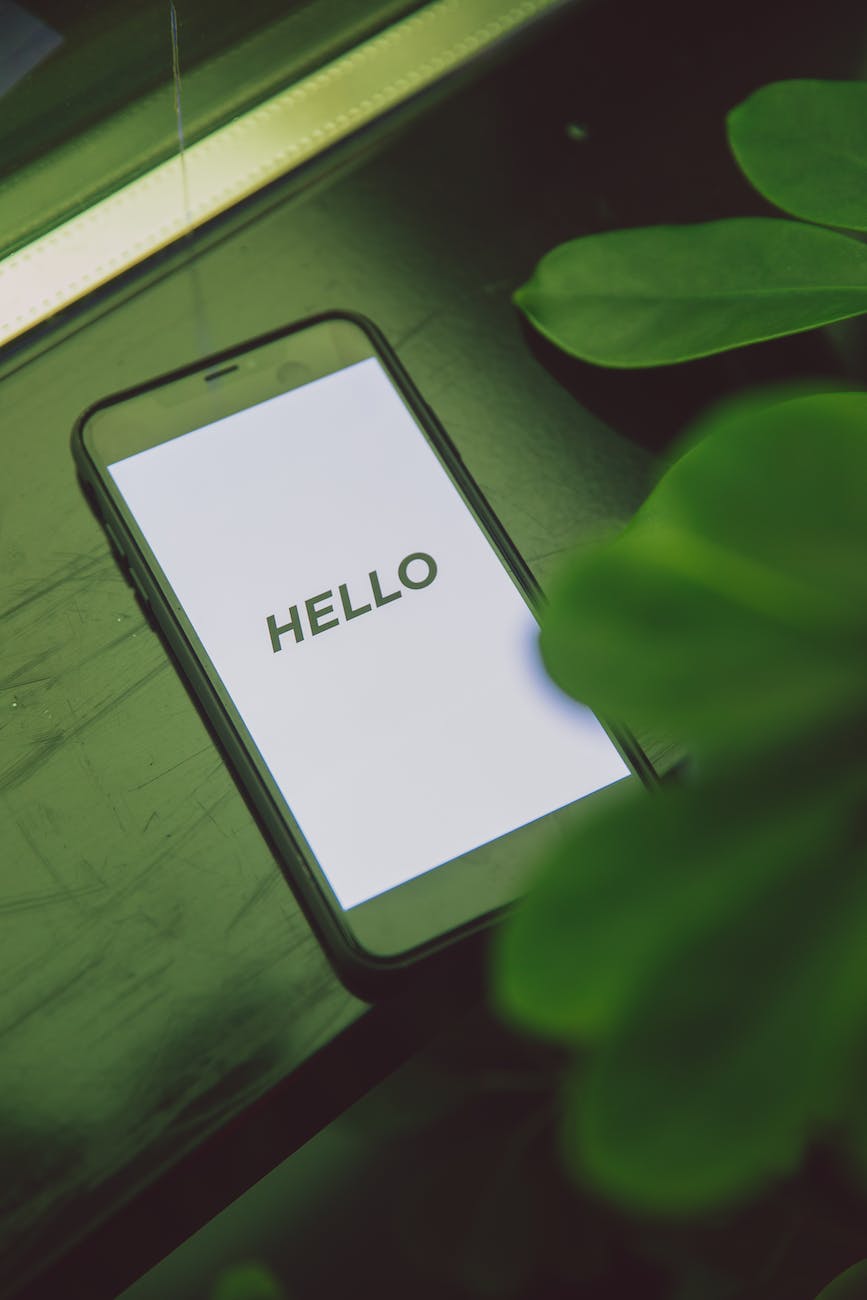
Finally, the young woman escorted me to a table. It was a four-top with a great view of the river, the Hawthorne Bridge, and OMSI, the Oregon Museum of Science and Industry. I would have taken pictures, but I didn’t have my phone.
I was the only person in the place occupying a table by myself. I was the only person of grandparent age not eating with children and grandchildren. I was the only person without a phone.
For the record, I would have been happy to share a table with someone close to my age who would actually talk to me, not talk around me to their friends or stare at their phone the whole time.
“Have you eaten here before?” the girl asked. No. She explained that I needed to click on the QR code on this slip of paper for the menu and then order with my phone.
“I don’t have my phone.”
Again, she was flustered. She went off somewhere and found an old-school printed menu. “It’s not up to date,” she warned, leaving me a checklist to mark what I wanted.
I checked a few items, not sure what I’d be getting, a young man whisked it away, and eventually I was served salad greens, won-tons, and beef-stuffed “pancakes.” It was all delicious. I watched the busy staff serving loud, happy parties who were laughing, talking, and sharing food. Outside, white clouds in the blue sky turned pink and then gray, and darkness fell. Inside, I stuffed myself with won-tons dipped in chili sauce and pondered the new world.
When I got back to my room, I had a text message: Your table is ready.
Everything is online these days. I bought my ticket for the festival, reserved my room, and set up my Uber rides online. I listened to music in my car by connecting my phone with the car audio system. I checked the time, checked the schedule, and ordered books by featured authors on my phone.
I received a text with a photo from my brother on my phone and exchanged a long series of texts with a friend to arrange a lunch date.
The one thing I did not do was make or receive a voice call on my phone.
A mobile phone is essential these days. How dare I go walking without one?
The Pew Research Center says 97 percent of Americans own a cell phone. Imagine how much money is being spent for all of those phones and all of those service plans. Not everyone can afford it, but the expectation is that you will have a smartphone, it will have all the apps, and you will know how to use them.
I can imagine what my father would say if he were to come upon this restaurant. Forget the fact that he would never eat Asian food. When asked to check in on a tablet and give his cell phone number, his response would be something like “Are you kidding! I’m not giving them my %$$#@# telephone number.” Followed by, “Whaddya mean there’s no menus? To hell with this place!”
But Dad, who died in 2019, was born 101 years ago, when all you could do on a phone was talk to people–if you were one of the few families lucky enough to have a telephone at all.
To the restaurant’s credit, the food was wonderful, and at least four workers thanked me and wished me a good evening on my way out. I would go there again, with my phone and with other people. I’m proud that I did not hide in my room eating microwaved pasta. I braved this strange new world all by myself and survived.
Have you found yourself in situations where not having a mobile phone with you has been a problem? Tell us about it in the comments.
Photo by Polina Zimmerman on Pexels.com


 After listening all day Thursday to the Senate Judiciary Committee testimony about sexual abuse, I needed a getaway day. So on Friday I ran away to
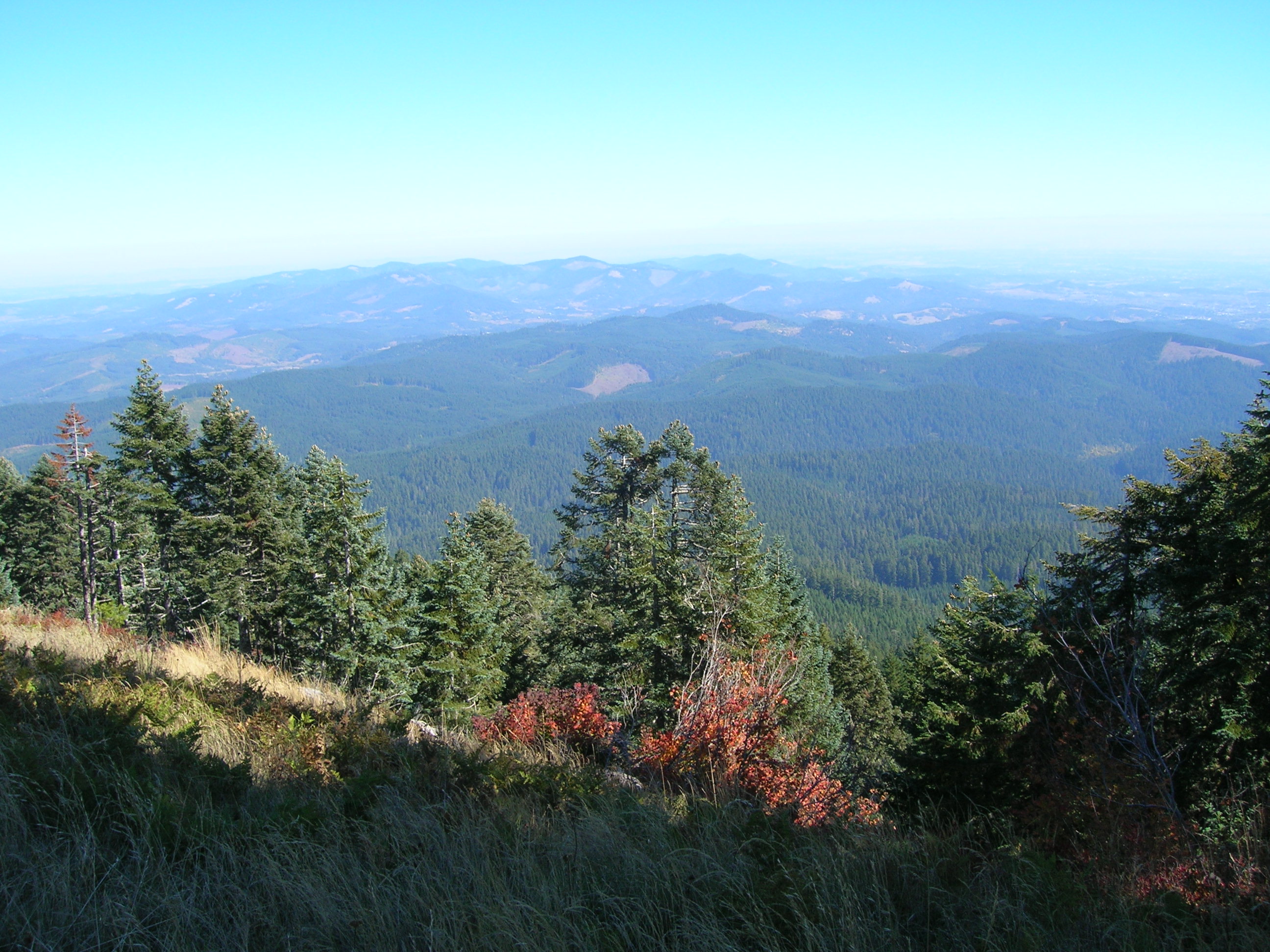
  $3.60 a gallon? Whatever. I was off on my adventure. Just before Milepost 48, I turned left at the Mary’s Peak sign and drove an even narrower, windier road for about nine miles. At the top, just past a campground, I turned into the parking lot, my jaw dropping in amazement. No, not at the view, at the cars. The parking lot was full, including two busloads of kids. So much for sitting quietly staring into the distance.
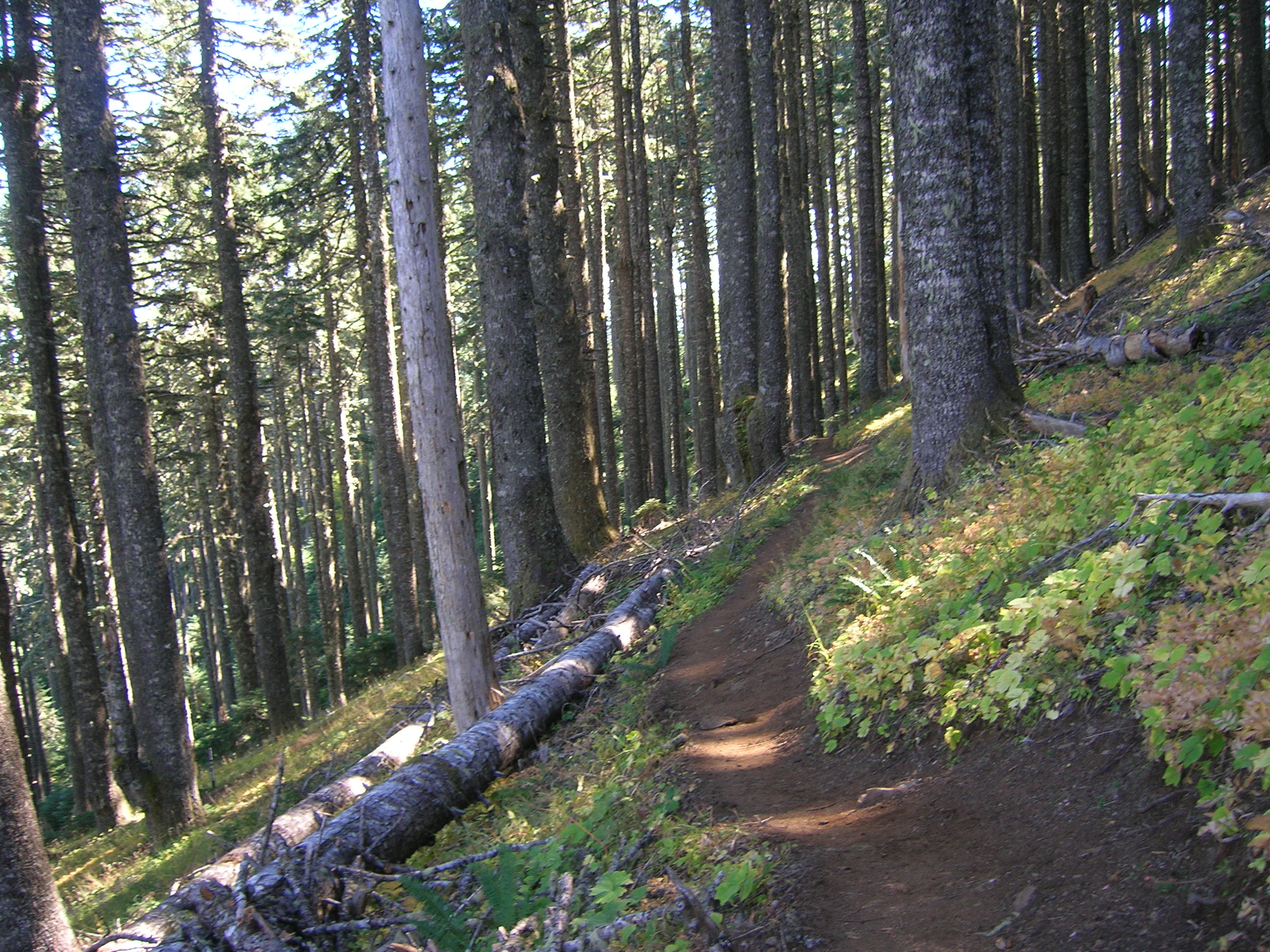 There’s not much up there at the top. No real shelter from heat or rain, no food or water, a couple picnic tables, a self-pay fee station ($5), pit toilets, and several trails.
 I considered eating the healthy snacks I had brought, then decided I would rather sit in an air-conditioned restaurant sipping iced tea, eating French fries, and reading my library book. So I did.
 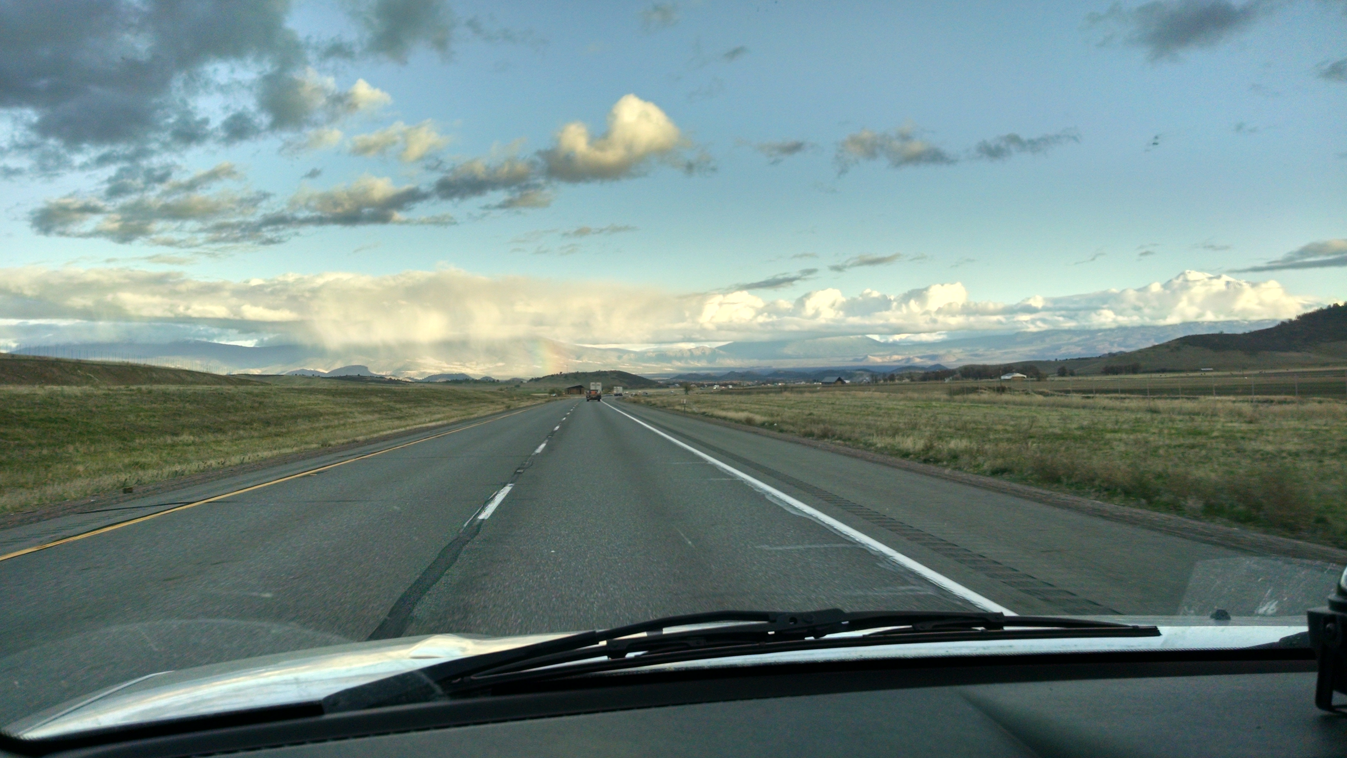 Today I am sharing with you a poem I wrote on my recent trip to California. I see hitchhikers often. I never pick them up, but I wish they could hear what I’m saying and thinking as I whiz by. Do you stop for hitchhikers? Why or why not? Please share in the comments.
 Once upon a time in another life, I married a geologist. On our honeymoon, we traveled north from San Jose, California to Calgary, Alberta in a white VW bus, camping and exploring along the way. Being a geologist, my first husband liked rocks. I like rocks, too, but not to the point of obsession. Somewhere near the California-Oregon border, I proclaimed that I did not want to hear another word about one more damned rock. I think it may have have happened at the
  If I had had any idea how long it would take to get from Klamath Falls to the
  ple from home and my last granola bar, washing them down with water. Where the heck was the visitor’s center? Finally, finally, I came to it. No restaurant, no snack bar, just bags of trail mix in the gift shop area, where you could rent or buy flashlights and helmets for the caves, along with books, hats and T-shirts. Another room offered a video telling the story of the caves. I collapsed on the couch there to watch stories of flowing lava, the
  There’s a great deal of human and geological history here. Indians hid in these caves during their battles with the settlers who insisted on taking their land. Not too far away, 18,000 Japanese Americans were housed at the
 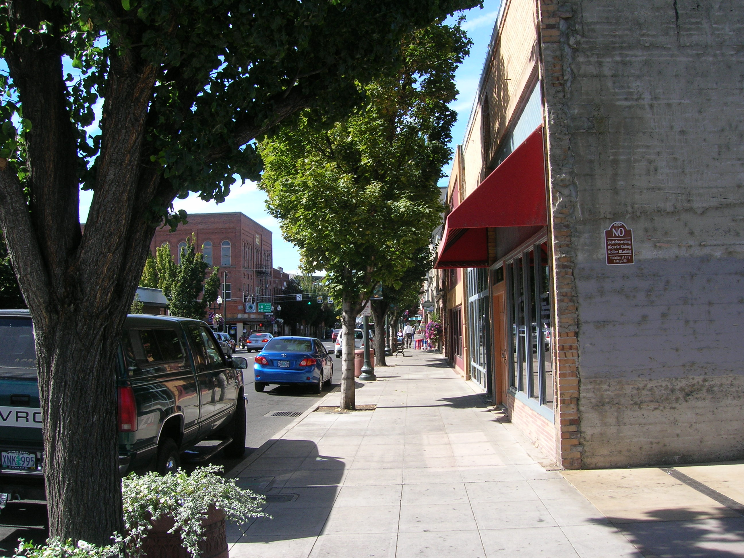 Many years ago, my parents visited
  On my two days in
 Other highlights: the
  I toured the
  For 20 years, I’ve been driving back and forth from my home on the Oregon coast to San Jose, California, where my family lives. I usually take I-5, a straight shot inland, or, if there’s snow in the mountains, I take Highway 101 along the coast. See the same things, stop at the same places, no time for side trips, tempting as they are. It takes me about 13 hours.
 But then I got out of the city and encountered the first of two covered bridges on this route.
  Having gotten a late start and gotten lost a couple times, I hadn’t really gotten far from Eugene, but that wasn’t the point. I spent the night in