
 After listening all day Thursday to the Senate Judiciary Committee testimony about sexual abuse, I needed a getaway day. So on Friday I ran away to Mary’s Peak.
It was so foggy on the coast I wondered if this would be another opportunity to drive for two hours to see nothing, but by the time I stopped in Alsea, population 164, about 30 miles up narrow, winding Highway 34, it was clear and hot. Since I hadn’t planned ahead, I was worried about running out of gas. How far was this dang mountain? When I saw the big GAS sign at a no-name station with one line of pumps, I pulled in. Honk or walk across to John Boy’s Mercantile to fetch the attendant, said a sign. I honked. Two people resting on a bench out front of the store looked up, and I suppose they alerted the lanky white-haired man who ambled across to fill my tank. We chatted about the weather—yep, warm here–and the need for a runaway day. He agreed it was a good idea. He reminded me of the handsome actor Sam Elliott. I wondered whether he was John Boy and whether he was single. Probably not.
 $3.60 a gallon? Whatever. I was off on my adventure. Just before Milepost 48, I turned left at the Mary’s Peak sign and drove an even narrower, windier road for about nine miles. At the top, just past a campground, I turned into the parking lot, my jaw dropping in amazement. No, not at the view, at the cars. The parking lot was full, including two busloads of kids. So much for sitting quietly staring into the distance.
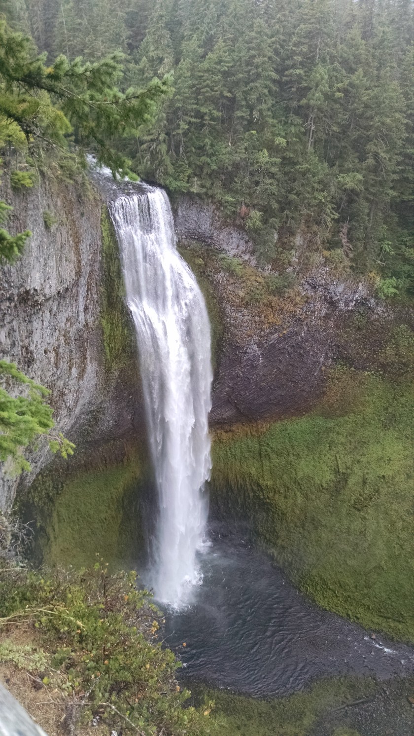
At 4,097 feet, Mary’s Peak is the highest point in Oregon’s Coast Range and the most prominent peak to the west of Corvallis. On a clear day, you can see both the Pacific Ocean to the west and many of the Cascade peaks to the east across the Willamette Valley. Unfortunately, on Friday, the view to the west was all foggy goo, and the rest was a bit hazy, but it was much better than the one time I came up with Fred and couldn’t see anything.
 There’s not much up there at the top. No real shelter from heat or rain, no food or water, a couple picnic tables, a self-pay fee station ($5), pit toilets, and several trails.
I picked one of the shorter, shadier trails clinging to the steep mountainside. Man, it was a long way down from there. The trail went up and up, merging with a switchback trail that emerged into dry grass and looped back to the parking lot. My legs got a workout after two months of slow easy walks with Annie, who is still recovering from knee surgery. I saw crickets and yellow jackets, dusty little birds, deciduous trees coming into full fall color, and hikers in couples, groups, and packs. Many sported fancy walking poles, which might have been helpful. A hat would have been good, too. By the time I saw the yellow buses in the distance, I was hot, and my own gimpy knee ordered me to sit down. So I did.
 I considered eating the healthy snacks I had brought, then decided I would rather sit in an air-conditioned restaurant sipping iced tea, eating French fries, and reading my library book. So I did. Taphouse, Philomath, good grub. Close to Highway 20, which offered a much easier ride home into the cool fog and a suspicious dog who sniffed me all over, wondering where I went without her.
The upper road to Mary’s Peak is closed during the winter, although the park is still open to cross country skiing and other non-motorized sports. For more information about trails, camping, etc., visit the website.
 For 20 years, I’ve been driving back and forth from my home on the Oregon coast to San Jose, California, where my family lives. I usually take I-5, a straight shot inland, or, if there’s snow in the mountains, I take Highway 101 along the coast. See the same things, stop at the same places, no time for side trips, tempting as they are. It takes me about 13 hours.
 But then I got out of the city and encountered the first of two covered bridges on this route.
  Having gotten a late start and gotten lost a couple times, I hadn’t really gotten far from Eugene, but that wasn’t the point. I spent the night in