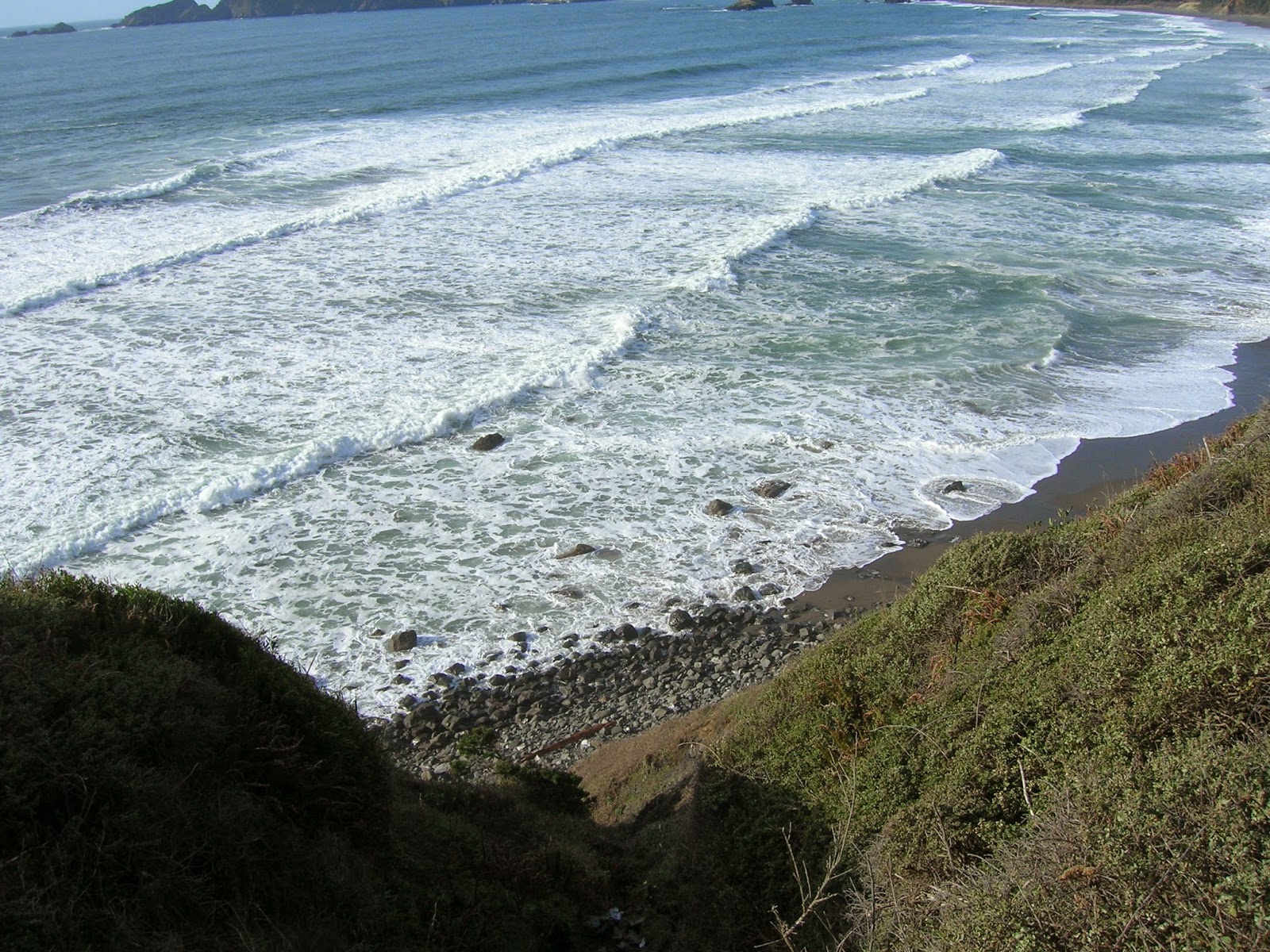
The highway feels a lot longer on foot

IMG_20180714_194816022_HDR[1]When yet another head-on crash closed Highway 101 just a half mile north of my home in South Beach, Oregon, Saturday, I worried about getting to church to play piano at the evening Mass. There is no other road. Back in May, I sat for hours behind a similar accident. It was miserable, but I had nowhere to go but home. Now, as I listened to the sirens and checked the news, I wondered: Should I try to walk to Newport?

It was a sunny afternoon, ominously quiet without the usual highway noise. Those stuck in line no doubt shut off their engines to save gas. I read on News Lincoln County that one woman was running out of oxygen and put out a 911 call to the fire department. One crash victim was being loaded on a Life Flight helicopter. Another would be transported by ambulance. Photos online showed debris all over the northbound lane. It would take forever to clean it up.

Should I walk? I put on my comfortable shoes and loaded up a bag. But I hesitated. The accident happened at 12:50 p.m. It was 2:30. Emergency responders were working on clearing the road. Tripcheck.com said it would be closed for up to two hours. Maybe the road would be open. My music books were awfully heavy.

In the end, I took a chance on the road being open. When I ventured out in my car at 3:30, traffic was moving. Cars were backed up all the way through Newport to the north and back to Beaver Creek to the south, but I arrived at church on time.

After Mass, I was itching to find out whether I actually could have walked it. After dinner, I tricked Annie by taking the garbage out and then going on down the road. Soon I was on Highway 101, cars whooshing past too close for comfort. The four-foot bike lane felt far too narrow.

The road rapidly becomes a tunnel of trees and cliffs on both sides, mud, grass and dirt along the road littered with coffee cups, cigarette butts, and other debris. I felt conspicuous in my pink shirt walking where people don’t usually walk. I envisioned getting mowed down by a car. I’d make the news as an “elderly woman” with no ID, just a cell phone and a key attached to a whistle.

The road goes uphill and down, in and out of a tsunami zone. On the east side, water trickles under the ferns and fir trees. In an opening on the west, sun rays beamed through the trees on a swampy area filled with blooming purple foxglove. It would have been pretty but for the lethal vehicles flying past me at 60 mph. I decided I would only go as far as the Newport airport.

The road widened out at the turnoff. At 7:30 on a Saturday night, the airport was deserted. Two small planes and an orange Coast Guard helicopter sat on the tarmac beyond the chain link fence. In the light breeze, the windsock pointed due north.

Feeling small in that big area of buildings and runways, I snapped photos and started back, humbled about my earlier plan to walk to town. This was only a little over a mile, and I felt tired. It was four miles to the bridge, six miles to church. I pictured myself sitting on the ground in a puddle of sweat, defeated. Walking on the highway is not like walking the dog in the woods, stopping here and there for her to sniff and pee. It’s a forced march on concrete, expecting to get killed any second.

I couldn’t help thinking about P.D., the main character in my Up Beaver Creek novel. In the story, she and Janie walk much farther than I did. They are younger and in better shape. But there are also no moving cars.

In my imagination, I picture Highway 101 wide open, with couples, singles, and families with kids and dogs safely strolling on a pleasant summer night or making a pilgrimage during the heat of the day to get food and water. People would talk to each other, maybe even sing. Perhaps someone could install a few benches to rest. The trash would get cleaned up once people saw it up close, and the road could become a pleasant gathering place.

But commuting to work would be tough. And what if it was raining or snowing?

Yesterday morning, driving to church, I passed the airport in my car. It took about two minutes, compared to my 45-minute expedition Saturday night.

Could I walk to town in a pinch? I could. It would take an hour and half to two hours, and it wouldn’t be pretty. I’d be sore for a week, but I could do it. When the tsunami comes, it’s quite possible our cars will be useless. We will need to seek alternatives. I’m thinking I need a bicycle or a horse.

I have not been able to find out much about the accident victims, but it was a bad crash. Keep them in your prayers. Please stay safe out there!

*********

Annie is still waiting for her appointment with the surgeon to fix the torn ligament in her knee. She wants to go on long walks in spite of her gimpy leg, but she’s not up to it these days. For me, walking without her is just not the same. Give her a few months, and she’ll be back at it.

On the road to San Jose again

I spent yesterday traveling down the coast of Oregon to California for Thanksgiving. It’s a two-day journey, which I made extra long stopping to take pictures and do some Christmas shopping. I will let my photos tell the story this week. (All photos copyright Sue Fagalde Lick 2014)

Devil’s Churn at Cape Perpetua

Veterans’ memorial north of North Bend

Coast view south of Pt. Orford

Gold Beach bridge from the north

Playground at park in Crescent City

The sun nears the horizon on the Redwood Highway north of Eureka, CA

I stands for . . . I-5

Photo courtesy Photobucket.com (Can’t shoot when I’m driving!)

I stands for I-5, the interstate highway that stretches between the California-Mexico border to the Washington-Canada border. It’s the road that seems to connect everything for western Oregonians heading for Portland, Corvallis or Eugene, and for me, it’s the road home to San Jose.

We don’t have a freeway here on the Oregon Coast. We have Highway 101, maximum speed 55, mostly one in lane in each direction with lots of curves along the ocean and through the redwoods. You can get to San Jose that way, but I-5 is more efficient. The trick is getting to it. From anyplace on the coast, it takes at least an hour of windy roads over the coast range to finally get to the open farmland of the Willamette Valley and the freeway. I have driven it in sun, snow, rain and fog, and I’m always glad to finally enter I-5 Suddenly I can drive fast, with multiple lanes to pass the many trucks, Rvs and slow-movers. I can just hear my car saying, “Hooray!”

I-5 is designed for long drives. It has rest stops every so often where one can use the restrooms, walk the dog, and eat a picnic lunch. Sleeping is also good. At many of the stops, people sit near the bathrooms holding signs asking for money. Some play guitar. many have dogs with them. They claim to be homeless, out of gas, in a jam. I never know whether or not it’s true.

The freeway also offers lots of billboards and informational signs that tell us how far it is to the next cities and what restaurants, gas stations and special attractions can be reached off the next numbered exit. The road is so straight most of the way that we need something to keep us awake. Radio stations in the rural areas tend toward Christian and right-wing talk shows. One could listen to an entire audio book–or write one–while cruising I-5.

It’s 700 miles from South Beach to San Jose. I spend most of those miles on I-5. I know the landmarks well: the Apple Peddler restaurant in Sutherland; the wild animal park in Winston; the casino and antique stores in Canyonville; the great Best Western in Roseburg; the Heaven on Earth restaurant; the truck stop with the porn theater; the rest stop at Rogue River; the series of mountain passes leading to Siskyou Pass, elevation 4310; the Welcome to California sign with its yellow poppy on a blue background; the agricultural inspection station; Yreka;Weed; Mt. Shasta; Lake Shasta; Redding; Corning; Willows where I eat at the Black Bear restaurant; Sacramento, where the traffic clogs up; Stockton, and Tracy, where I exit to 205 to 580 to 680 to 280 to Dad’s house in San Jose, arriving exhausted from fighting the Bay Area traffic.

It’s a long drive, which I have made approximately 40 times, mostly alone, since we moved to Oregon almost 18 years ago. That first trip with the rental truck that kept breaking down was something to remember. It occupies a whole chapter of my book Shoes Full of Sand. And when I went back the first time to visit, I brought so much stuff, my mother thought I was leaving my husband. I don’t pack light.

These days, I go back two or three times a year. I fly sometimes, but it takes so long to get to the Portland Airport that driving seems more efficient, and it’s definitely more fun. Sometimes I think I actually live on I-5. When I drag my suitcase into my room at the Best Western in Yreka, which is exactly halfway, I often feel that I am finally home.

I stands for I-5.

I’m participating in this month’s A to Z blogging challenge, and I is for I-5. My alphabetical posts are distributed among my various blogs. Here is the schedule:
A Newsletter–A is for Annie
B Childless by Marriage–B is for Baby
C Unleashed in Oregon–C is for Crate
D Writer Aid–D is for Deadline
E Unleashed in Oregon–E is for Ear
F Unleashed in Oregon
G Unleashed in Oregon
H Childless by Marriage
I Unleashed in Oregon
J Writer Aid
K Unleashed in Oregon
L Unleashed in Oregon
M Unleashed in Oregon
N Childless by Marriage
O Unleashed in Oregon
P Writer Aid
Q Unleashed in Oregon
R Unleashed in Oregon
S Unleashed in Oregon
T Childless by Marriage
U Unleashed in Oregon
W Writer Aid
X Unleashed in Oregon
Y Unleashed in Oregon
Z Unleashed in Oregon

More than 2000 other bloggers have signed up for the challenge. For more information, visit a-to-zchallenge.com You might find some great new blogs to follow. I know I will. Visit Writer Aid tomorrow to find out what J stands for.

Then everything stopped

I rolled onto Highway 101 last night thinking this is the first time in ages I have left for church choir in the dark. Just then I came around a bend and saw a long line of red taillights. Blue and red police lights flashed way up ahead. Uh-oh.

I came to a stop behind a pickup truck. We inched ahead a half mile or so, then stopped again. Time passed. We turned off our engines and our headlights. I called the church and said I might not be there on time. Meanwhile, it seemed so peaceful sitting on the two-lane highway under a nearly full moon. It was so quiet. I felt a sense of community as we all turned from moving vehicles to human beings stuck on the road together.

After 15 minutes or so, my phone rang. A fellow singer had gotten caught in the backup somewhere behind me. He had heard on his police radio that a fatal accident up ahead would force closure of the highway for at least an hour. They had already closed the Yaquina Bridge. He was turning around and heading home. I said I’d stick it out awhile. It really was comfortable not having to do anything. I called my husband in his nursing home, and we had a nice talk. For once I wasn’t rushing around.

After awhile, I called my co-director to tell her I might not make it to the church at all. I listened to country music, opened the window and breathed the warm windy air and watched the world around me. No point in worrying about my altered schedule. What was happening to me was a minor inconvenience compared to the tragedy up the road where someone had died and someone had lost somebody they loved.

After an hour and a half, as three more police cars zoomed toward the scene, I did the math and realized it was no longer worth trying to get to Newport. I pulled out of line and turned around, driving slowly past a long queue of headlights. The cars thinned out near my turnoff, but I found an emergency vehicle and a guy directing traffic right at that intersection. I opened my window. “Can I go?” “You can go, ma’am,” he said.

In a few minutes, I was home, undressed and enjoying the warmth of my newly rejuvenated spa. Ahhh.

I enjoyed my evening off, but I have grown increasingly frustrated as I have tried to find out exactly what happened. The TV stations all broadcast news of Portland and didn’t say a word about anything here last night. All the local news on the Internet was old. The radio stations had given over the airways to pretaped shows. One country station let an announcer break in to tell us the road was closed. Nothing more. Even today, I can’t find any more than that online.

Two people in my yoga class were trapped on the north end of the bridge. They said the road was closed for 2 1/2 hours. They were pretty sure more than one person had died. They walked toward the scene and saw bodies on the road. All I can do now is wait for the local paper to come out tomorrow and hope somebody had the initiative to cover the crash.

Meanwhile, it was a good taste of what might happen if an emergency makes it impossible to cross the bridge into Newport. Highway 101 is the only through road. Those of us in South Beach and Seal Rock, located between the Yaquina and Alsea Bay Bridges, would be isolated without stores, without gas, without a way to get to jobs, schools or medical care. We would be forced to work together to survive, and we might have to revert to the ways of old, turning the beach into a highway, taking ferries across the bays or finding muddy logging roads through the trees to civilization farther inland.

As I sit here in the middle of a windstorm that threatens to take down trees, knock out the electricity and carry small dogs and children away, I can’t help but think about how little it would take to completely change our lives.

%d bloggers like this: